Using optical survey software to identify precise locations on railway lines.
Requirement
- A rail network operator needed to monitor hundreds of miles of track and pinpoint locations with exact co-ordinates
- This information could then be provided to ground based teams to assess specific areas of interest or concern
- The survey could be conducted through a contracted helicopter services to aerially monitor tracks but they required a survey tool to meet their needs.
Solution
- OPTOnav survey software was developed to enable the user to derive 3D co-ordinates of objects in oblique or vertical imagery and provide the precise location of the camera’s focal point and the target centroid pixel orientation with respect to the survey datum.
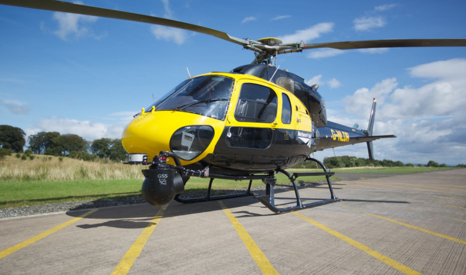
- Helicopters were fitted with stabilized camera turrets and an Inertial Navigation System enabling the capture of detailed data showing exactly where each image was captured and the angle of the camera
- A calibration process was developed to ensure that any adjustments in the camera turrets were accounted for and the operators were able to check the quality of the data collected in flight
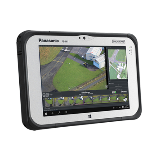
- A GUI was developed to present the software in an accessible format for both in operation and post processing
- Accuracy of 35cm was achieved from images captured at a distance of 600m
- OPTOnav survey continues to monitor 20,000 miles of track, 30,000 bridges and viaducts and thousands of tunnels, signals, level crossings and points


